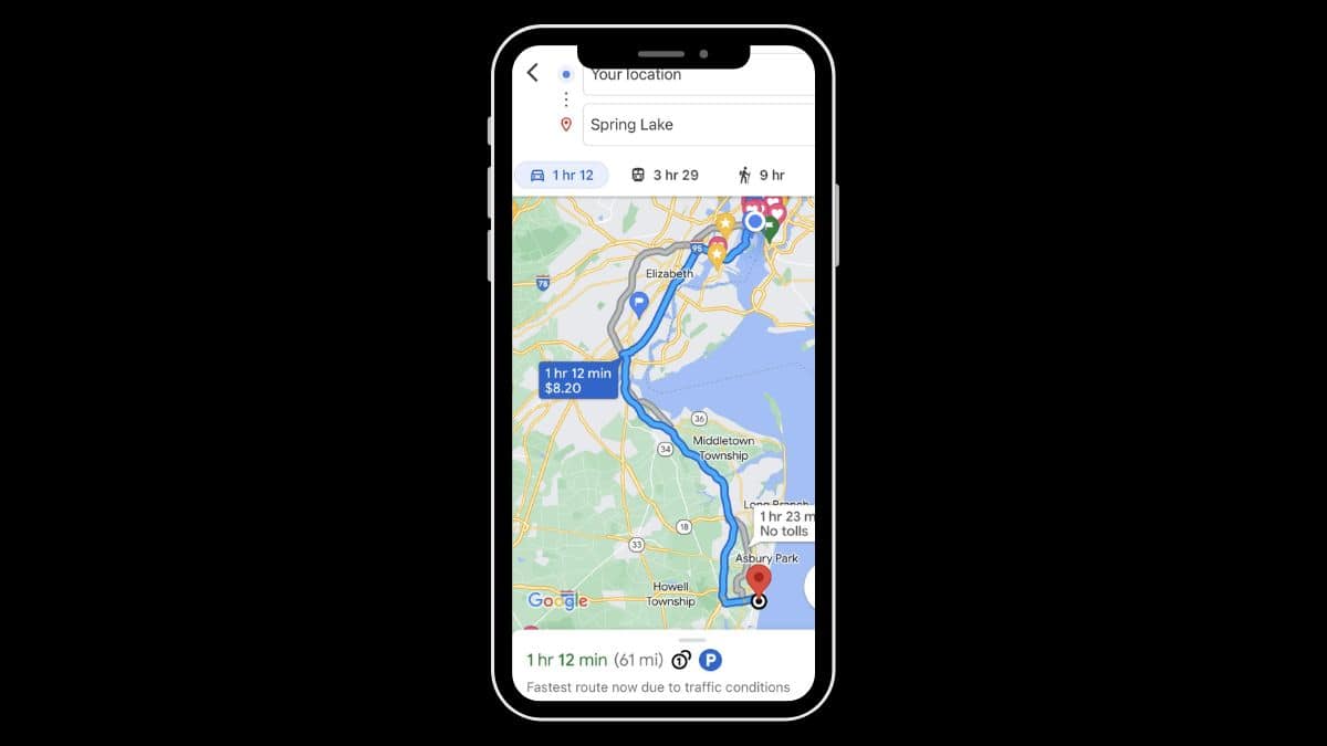
We’ve all been there. You pop open Google Maps, switch to Street View, and—wait a second!—why is your favorite coffee shop still showing as an abandoned laundromat? Or that shiny new building is just an empty field? What gives? You’re not alone. Google’s Street View isn’t always up-to-date, and there are reasons for that. But don’t worry—we’ll dig into why it happens, and yes, you can actually try to nudge Google into updating your area!
TL;DR
Google Maps shows outdated Street Views because updating billions of images takes time and depends on many factors like location, road access, and weather. Urban areas get updated more often than rural ones. You can’t update it yourself, but you can request an update from Google. Just don’t expect it to happen overnight—it’s more like asking for a favor, not filing a formal complaint.
Why Street View Isn’t Always Current
Let’s break it down. Why is that picture from 2016 still hanging around? Turns out, updating the entire world is really hard work. Here are a few big reasons:
- Too Much Ground to Cover: Google has billions of roads to photograph. Cities, tiny towns, country roads—it’s a LOT.
- Logistics Matter: Google has to physically drive their camera vans through every street they want to photograph. And sometimes, routes aren’t accessible due to construction or private property.
- Weather and Seasons: No one wants pictures full of fog, snow, or pouring rain. Google waits for the weather to be nice. That takes time.
- Some Spots Are Low Priority: Big cities get new images more often than rural areas. More traffic, more updates.
To find out how old a Street View image is, just look at the top-left corner of your screen when you’re in Street View mode. It usually says something like “Image captured: July 2018.”
Why It Can Be Frustrating
Imagine trying to show off your new house—only for Google Maps to display that awful yellow paint from five years ago. Or maybe your business just opened, but it looks like an empty lot online. These outdated images can be annoying, especially if they are tied to personal or business reasons.
Sometimes outdated images can also mislead delivery drivers or visitors. It’s not just about looks—it can be confusing and inconvenient too.
So, Can You Update It Yourself?
Here’s the deal: You can’t upload your own Street View and replace what Google shows. But don’t worry; there’s still hope! You have a few options to nudge Google into action.
Option #1: Submit a Street View Update Request
It’s not an official “make this happen now” feature, but you can report a problem:
- Go to Google Maps and enter the location you want to update.
- Switch to Street View (drag the little yellow person onto the map).
- Look at the bottom-right corner and click on the three dots.
- Select Report a problem.
- Fill in the form. Explain that the image is outdated and why it should be updated.
If enough people request the update—or if they’re already planning a drive in your area—Google might do something about it.
Option #2: Upload Your Own 360 Photos
This one’s fun! You can actually contribute your own 360° images to Google Maps!
- Download the Google Street View app on your phone.
- Use the app or a 360° camera to take images in your area.
- Upload them through the app to connect them to the map.
Note: These won’t replace the official blue-line Street View, but it’s still super helpful. Other users can click through your images while exploring the map.
Option #3: Contact Local Authorities or Community Leaders
This sounds strange, right? But hear us out. In some places, community organizations and cities partner with Google to update areas faster. If your neighborhood is going through major changes—like new roads, schools, or buildings—it might be worth passing the word up the chain.
If your business is the one Google Maps is misrepresenting, definitely update your Google Business Profile. That way, even if Street View is old, folks still see your correct info.
How Often Does Google Actually Update Street View?
Short answer: It depends.
Google typically updates Street View in big cities every 1-2 years. But for rural areas or smaller towns? It could be every 5 years—or more. Some places haven’t been updated since the early 2010s!
You can check scheduled updates on Google’s Street View Program page. They often show lists of regions that are planned for updates in the coming months.
Fun Facts About Google Street View
Let’s take a detour for a second. Here are a few cool things you might not know:
- Google doesn’t just use cars—sometimes they use backpacks, tricycles, boats, and snowmobiles!
- Street View is available in over 85 countries.
- You can use “Time Travel” by clicking the clock icon when in Street View to see older photos!
- There are even Street Views of inside famous landmarks—like the Eiffel Tower and the Colosseum.
The Bottom Line
Yes, sometimes Google Maps just doesn’t show the latest and greatest version of your neighborhood. But it’s not because it doesn’t care. Capturing the entire globe takes time, effort, and a whole lot of planning.
If your area needs better imagery, give them a gentle nudge by reporting the issue, or make your own contribution with a 360 photo. Every little bit helps.
So the next time you see an outdated view of your street, don’t sigh too loudly. Smile, submit a request, and maybe even snap your own shots. Who knows? You might just become your local Street View hero.